Items related to Historical Map of Windsor and Eton 1860 (British Historic...
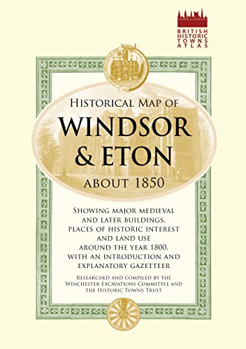

The suburban area encompassing the towns of Windsor and Eton has long been one of England's most popular historic sites, as home to the most familiar royal retreat, Windsor Castle, and the famous public school Eton College. This street plan, drawn up by the Historic Towns Trust, reconstructs the towns as they were situated in the mid-nineteenth century, at a time when they had been revitalised by substantial urban redevelopment, the coming of two railways, and Queen Victoria's residence from 1840.
"synopsis" may belong to another edition of this title.
About the Author:
A collaboration with the Historic Towns Trust.
"About this title" may belong to another edition of this title.
- PublisherOld House
- Publication date2014
- ISBN 10 1908402229
- ISBN 13 9781908402226
- BindingPoster
- Number of pages1
Top Search Results from the AbeBooks Marketplace

Stock Image
Historical Map of Windsor and Eton 1860 (British Historic Towns Atlas)
Seller:
Rating
Book Description Paperback. Condition: Fair. A readable copy of the book which may include some defects such as highlighting and notes. Cover and pages may be creased and show discolouration. Seller Inventory # GOR013326136
Buy Used
US$ 11.00
Convert currency